Where the work takes us
Aerial intelligence and industry consultancy for the people who build, operate, and maintain Australia’s infrastructure
40 years electrical 16 years civil construction. CASA accredited. Queensland Australia.
Introduction
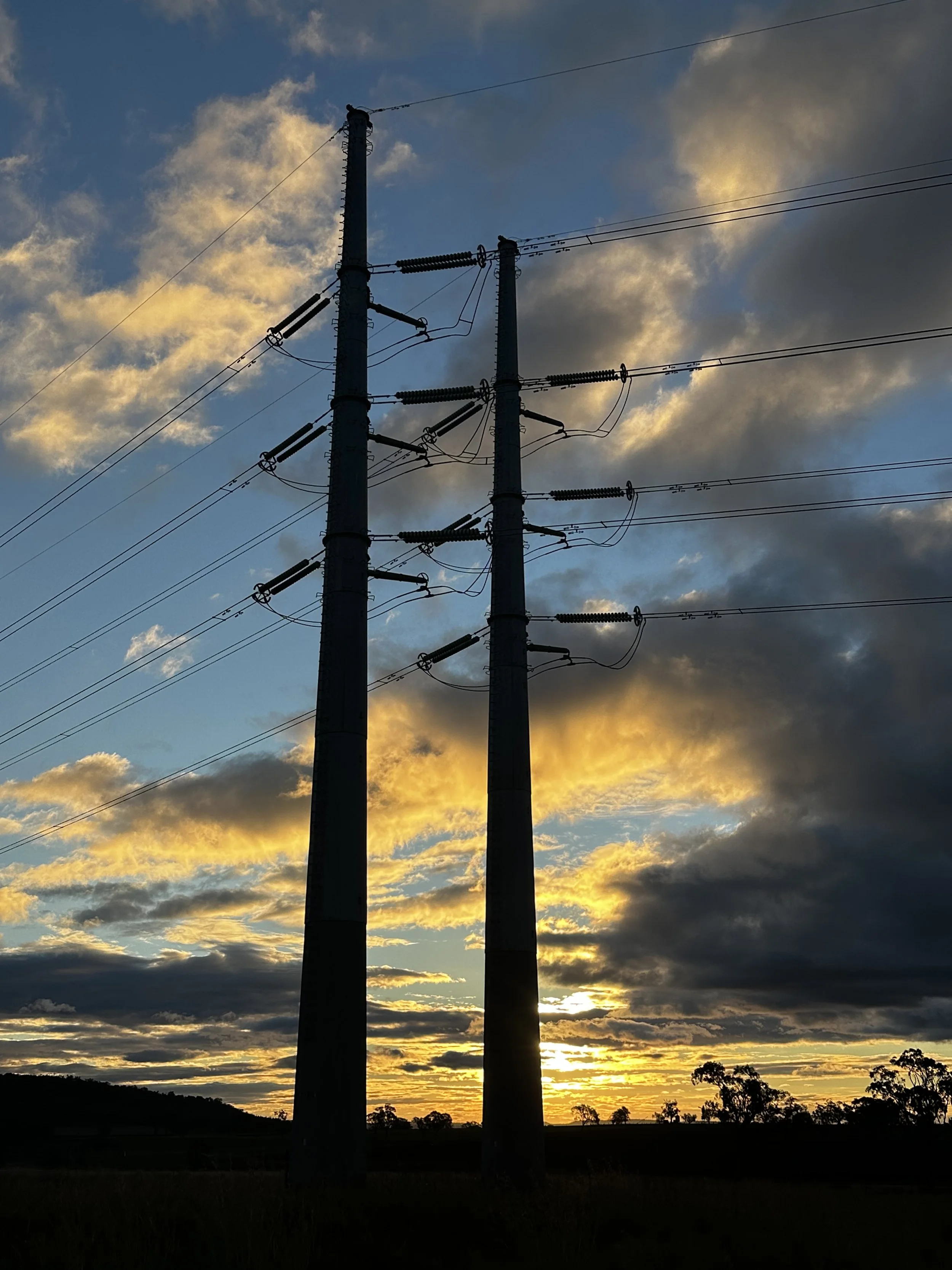
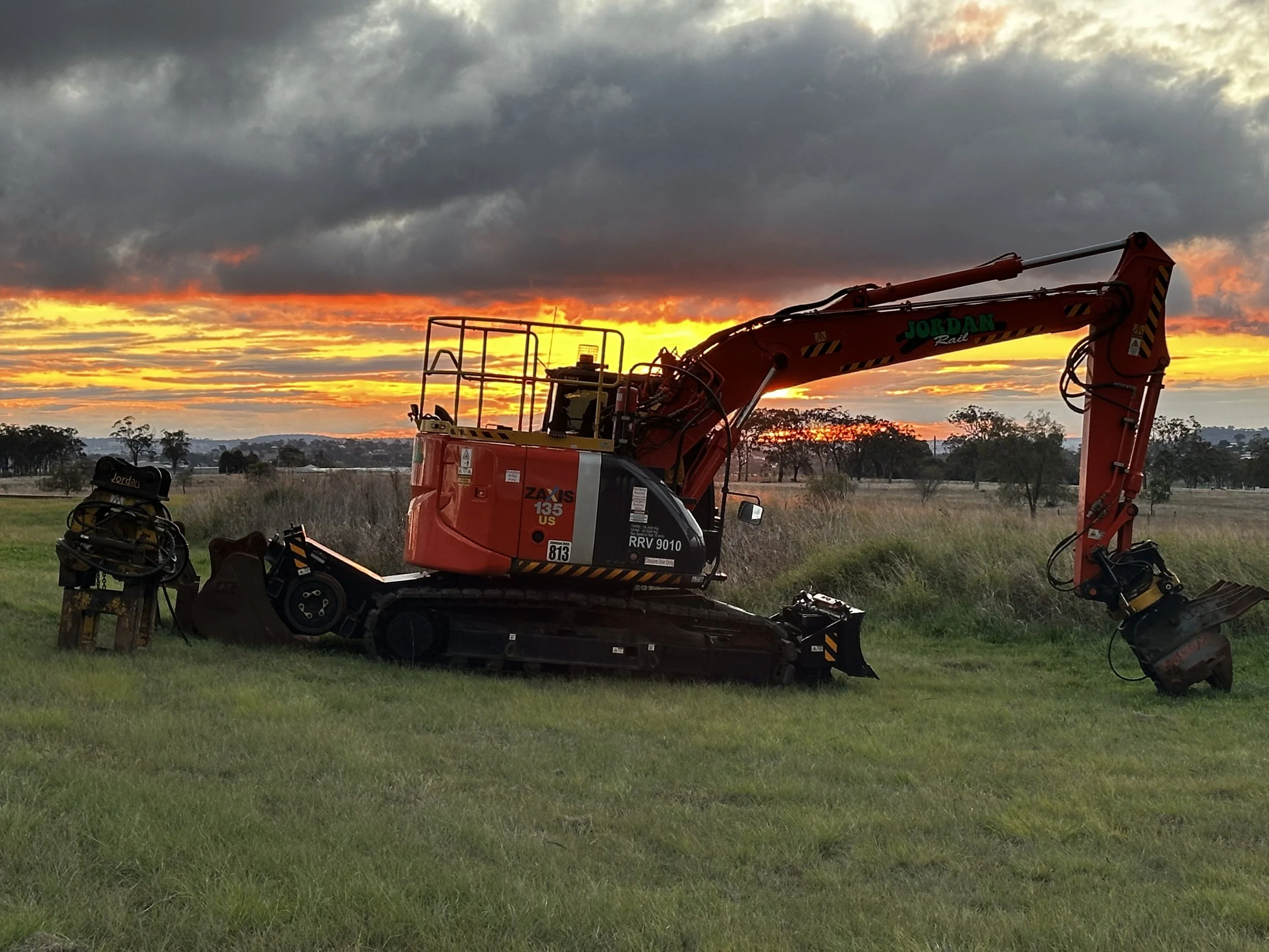
RedTail Horizons provides aerial site documentation and progress imagery for civil construction, infrastructure, and utilities clients across Queensland — backed by 40 years of electrical and 16 years of civil construction management experience.
We show up knowing what we're looking at — and we bring back
data you can actually use.
WHO THIS IS FOR
Civil contractors, infrastructure and utilities teams, project managers, rural landowners, and real estate professionals across Queensland who need reliable site visibility without the overhead of enterprise survey contracts.
WHAT’S INCLUDED
•Site documentation and condition imagery for construction, civil, and infrastructure sites
Progress monitoring — scheduled updates or on-demand capture
General asset and site visibility for contractors, project managers, and asset owners
Rural and remote property imagery, mapping, and landholder work
Real estate and marketing aerial photography/video
Every job is planned and flown to CASA Standard Operating Conditions — line-of-sight, altitude limits, and safe distance from anyone not part of the operation. Sites with active work areas or personnel on-site may need additional planning discussed upfront.
Need certified survey or engineering sign-off? RTH is your single point of contact for the capture, and we can coordinate access to licensed surveying and RPEQ engineering partners when a job calls for certified deliverables.
WHERE WE OPERATE
Queensland-wide, with a base in the Darling Downs region.
Get in touch for a scoped quote.
Stay ahead of the field.
Operator-grade intelligence for drones, AI, autonomy, and field operations. free, every week.
ABOUT RTH
RedTail Horizons is an aerial intelligence and industry consultancy built on real experience — 40 years in the Australian electrical industry spanning HV/LV trade and substation work, combined with 16 years of civil construction management.
Most aerial operators fly drones. RTH brings deep domain knowledge to every engagement — understanding your site, your risks, and your compliance requirements before the drone leaves the ground. The UAV is the tool. The expertise is the product.
RTH is CASA accredited, operating to a full compliance framework across Queensland. We serve civil contractors, infrastructure and Utilities teams, rural landowners, and government clients — with the same integrity, transparency, and commitment to getting it right every time.
If it isn't right — we fix it. No fine print. Guaranteed.
GET IN TOUCH
Whether it's a civil site, infrastructure project, rural property, or something in between — get in touch and I'll confirm suitability for your job.
📮 Or use the contact form below